Changing the Face of Exploration
StratiScape™️ is a Revolutionary new Seismic Display
Transforming interpretation and processing ... forever

Our Mission

Whenever we provide geoscientists with additional subsurface information, they discover more resources from increasingly smaller exploration targets. Our mission is to provide them with that information ... using the data they already have.

Dr. Steven Lynch
The Challenge
We believe the world is facing the two greatest technological challenges in history.

The first is “how do we replace oil as the primary fuel for transportation?”

The second is: “how do we find enough oil to meet the world's needs until we do?”
The Problem
Conventional oil production plateaued in 2004. If we are to meet continuing and expanding demand we must breakthrough the bottleneck that is holding us back.

To breakthrough that bottleneck we must have more and better information about the subsurface.

But where will that information come from?
Our Contribution
We believe that the subsurface information we need, to drill more prospects with a higher success rate, already exists in the seismic we have now.

We can’t solve the problem of chronic underfunding of exploration. But we can and will answer the question of “where will that information come from?”

It will come from the seismic you have now!

Meet StratiScape

The New Standard in Seismic Displays

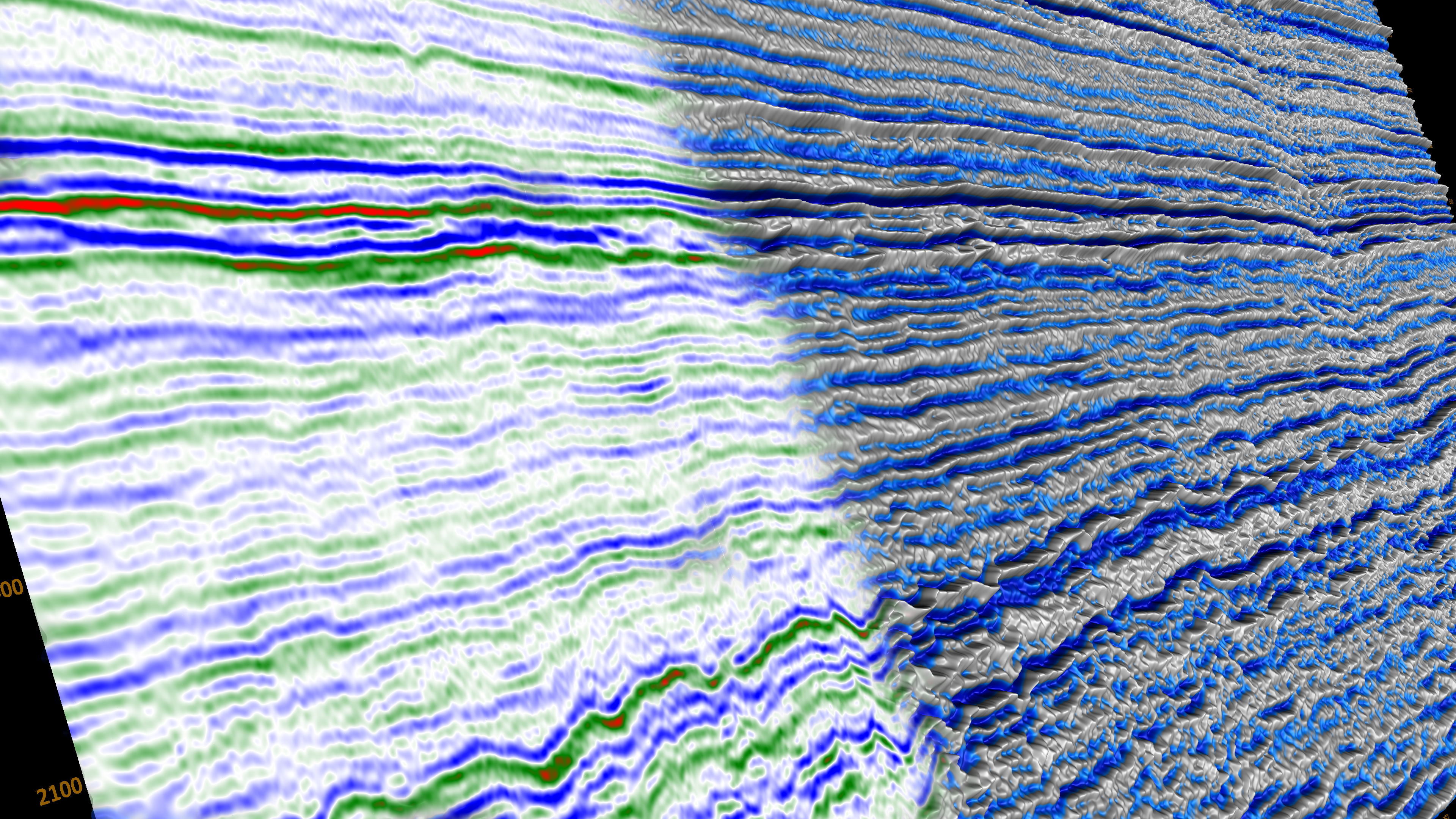
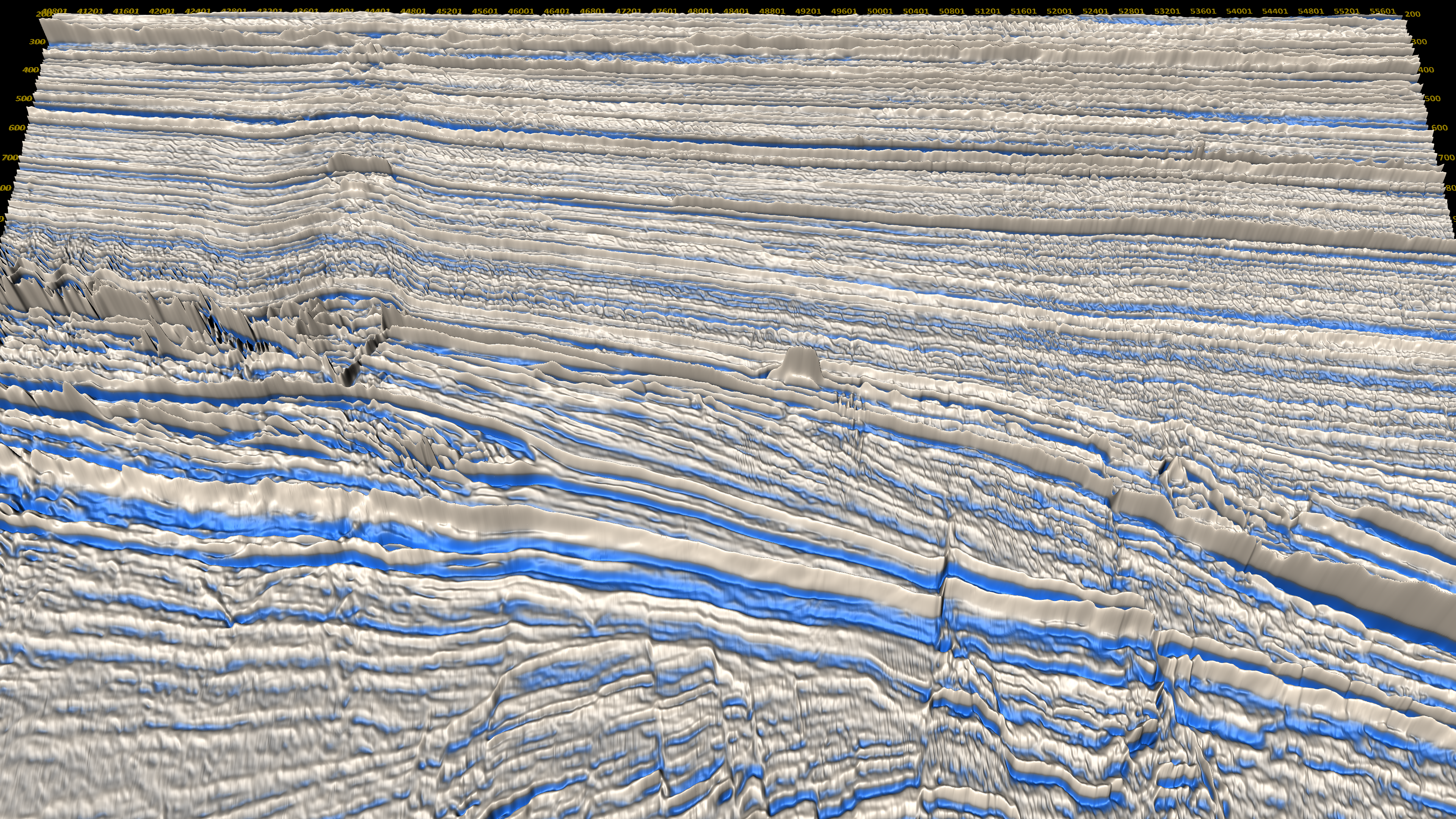
StratiScape displays are a breakthrough technology with the power to become the industry standard seismic display used by thousands of geoscientists every day of their career. They are the theoretically correct way to look at seismic. They ground an interpretation with objective seismic knowledge and make all the seismic in the global seismic library worth looking at again.
StratiScape Display
Variable Density Display

Exploring with StratiScape

The most cost effective way to explore is with seismic you already have over acreage you already own

Reduce Your Risk

Drilling wells is the most expensive part of exploration. It is where all the risks come together. The more detail you can get from your seismic the less risk you have to deal with at both the reservoir level and the near surface.
Learn More

Increase Your  Opportunities

If you have a working petroleum system in an area, it is guaranteed that you also have overlooked resources.
The increased detail you get from StratiScape might be the answer to uncovering them.
Learn More

Carbon Sequestration

The success of a carbon storage project depends on detailed knowledge of the reservoir and on identifying subtle faults that might compromise its integrity. StratiScape shows details not visible on other displays.
Learn More

Petrel Integration

StratiScape is now fully integrated into Petrel allowing you to seamlessly share seismic data and horizon interpretations.

StratiScape provides a novel, virtual reality based workspace that enhances your customary Petrel workflows with High Visual Resolution Interpretation.

The StratiScape plugin is available from the Petrel Ocean Store.

For more details go to the Petrel Ocean store.

Read our Feature Article

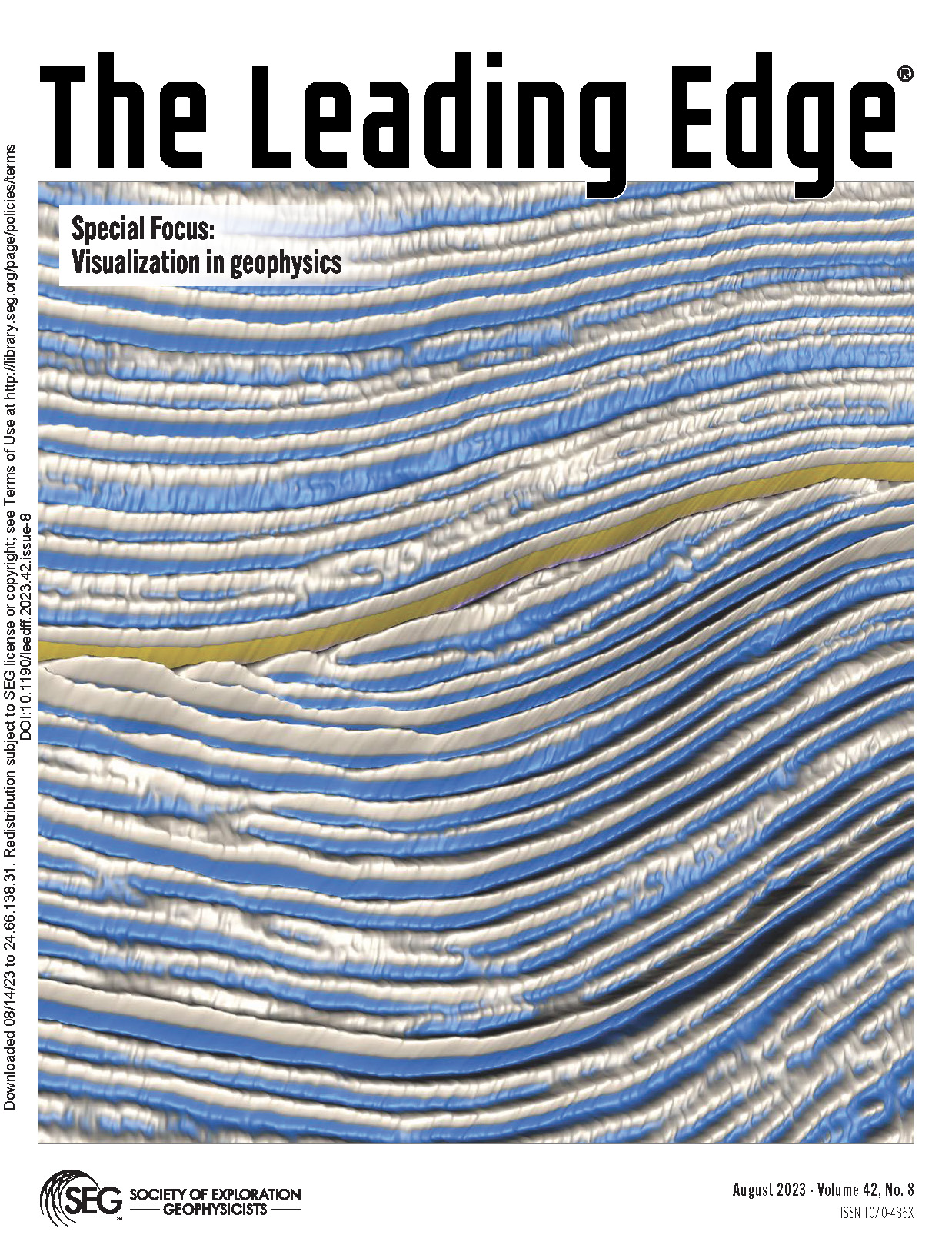
The August 2023 edition of The Leading Edge features a special focus on Visualization in Geophysics. The cover image was taken from our feature article – Steven Lynch, (2023), “High visual resolution interpretation: The case for virtual seismic reality,” The Leading Edge 42: 541–549. 
https://doi.org/10.1190/tle42080541.1
From the abstract – “The twin fields of virtual and augmented reality have revolutionized the gaming and entertainment industries; however, they have had almost no impact on the field of scientific visualization. This is especially true in oil and gas exploration where we continue to visualize seismic data using low visual resolution displays developed in the 1960s and 1970s…“
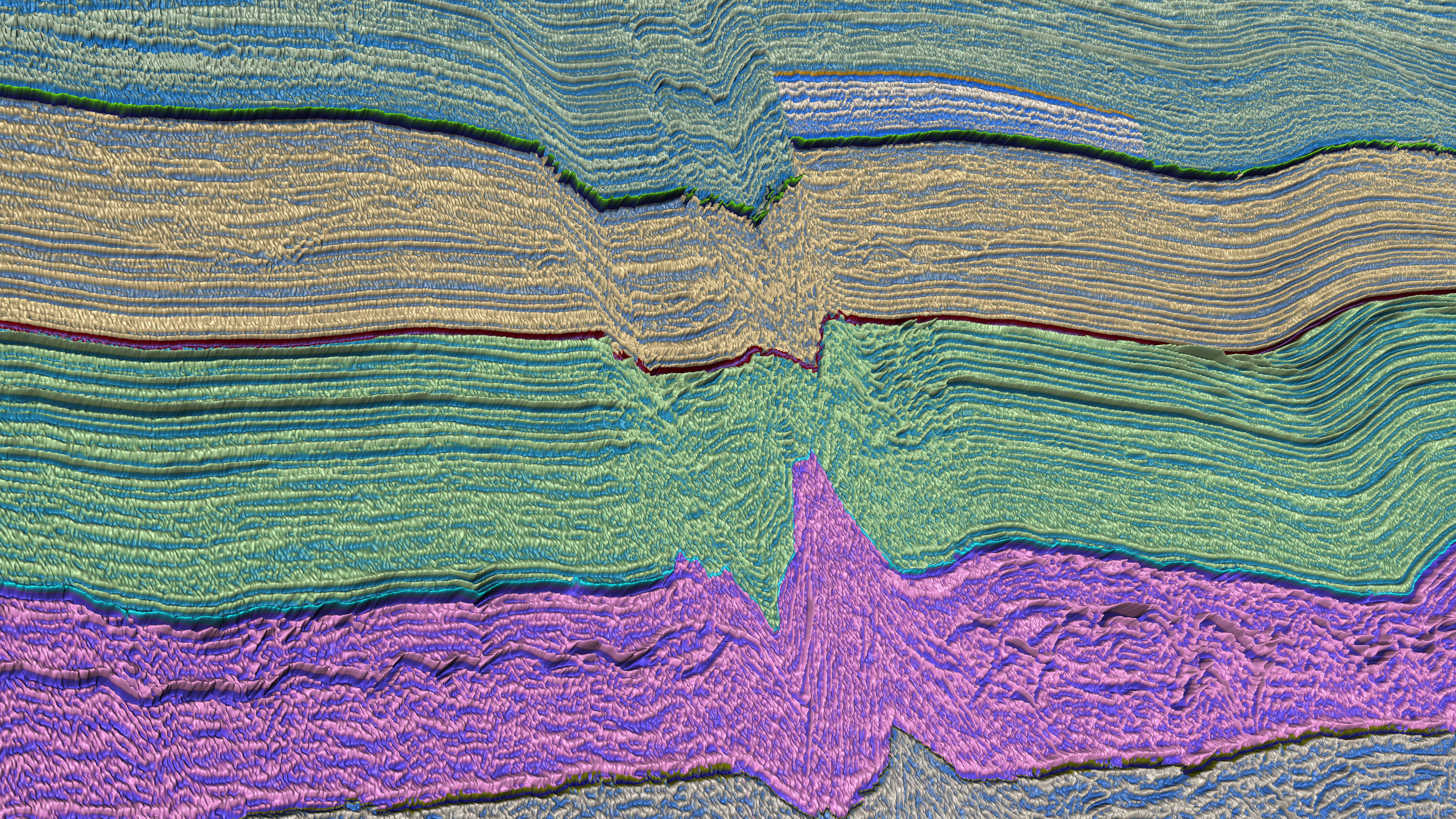
Images from the Article
We bring seismic to life
@2024 StratiScape Visualization Technology Ltd. All Rights Reserved.